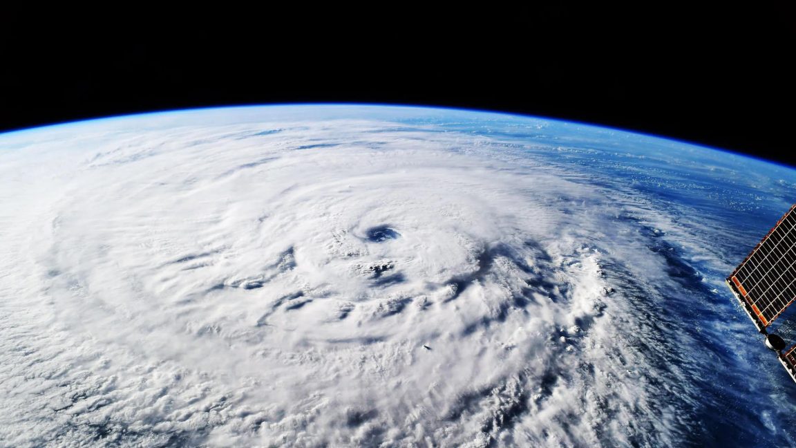
In October 2025, as Hurricane Melissa approached Jamaica, DeepMind's WeatherNext confidently predicted with 80% certainty five days ahead that it would make landfall as a Category 5 storm. It was right. That extra day of warning made all the difference in completing evacuations and stockpiling supplies.
Five Days Ahead, It Dared to Call It Category 5
As the storm brewed over the Caribbean Sea, traditional models were divided. WeatherNext's answer was straightforward.
In October 2025, a storm began brewing over the Caribbean Sea. Traditional models were uncertain: would it maintain a weaker intensity or strengthen and turn towards Jamaica? WeatherNext's answer was clear: it would make landfall as a Category 5 hurricane with 80% confidence. As you know, Hurricane Melissa brought catastrophic floods and landslides to Jamaica, but thanks to the early warnings, communities along the way were well-prepared.
This result was published in Nature: on average, WeatherNext provided an additional day of warning compared to existing models, with a three-day forecast as accurate as the two-day forecasts of older models. How much is a day worth? Mike Brennan, director of the U.S. National Hurricane Center, put it bluntly: "Even a few hours can make a big difference." Organizing evacuations, stockpiling supplies, and mobilizing resources are all tasks that race against time.
With Limited Data, How Did It Learn?
Hurricane data is inherently scarce, so the model's first step was to "borrow data."
Let's start with an unavoidable difficulty. Machine learning (letting computers learn patterns from vast amounts of data without human-written rules) relies on feeding it data, but hurricanes are extreme events with naturally few samples. What to do? Google DeepMind research scientist Ferran Alet answers with a simple statement: "We don't have that much hurricane data, but we have a lot of weather data." So the model learns both: predicting regular weather and predicting hurricanes.
The second difficulty is that hurricanes are actually two problems. Predicting storm tracks (where the hurricane will go) requires a global view—where are the cold fronts, which way are the prevailing winds blowing; predicting storm intensity (how strong the hurricane will be) conversely requires a close-up view of the local atmosphere and ocean. Older models struggled to handle both, and previous AIs were biased. Kate Musgrave, head of the hurricane group at Colorado State University, put it bluntly: "Previous AI models were good at track prediction but not intensity prediction." WeatherNext is the model that弥补了强度预测的短板。
The output format has also changed. WeatherNext does not provide a single answer: it generates 1000 possible scenarios for each storm, compared to 50 last year. Various "butterfly effects" are factored in, and forecasters see a whole range of possibilities, not just a single line.
The Coarser the Data, the More Accurate It Sees?
A more peculiar aspect is the input: it seems that the coarser the data resolution, the more informative it is.
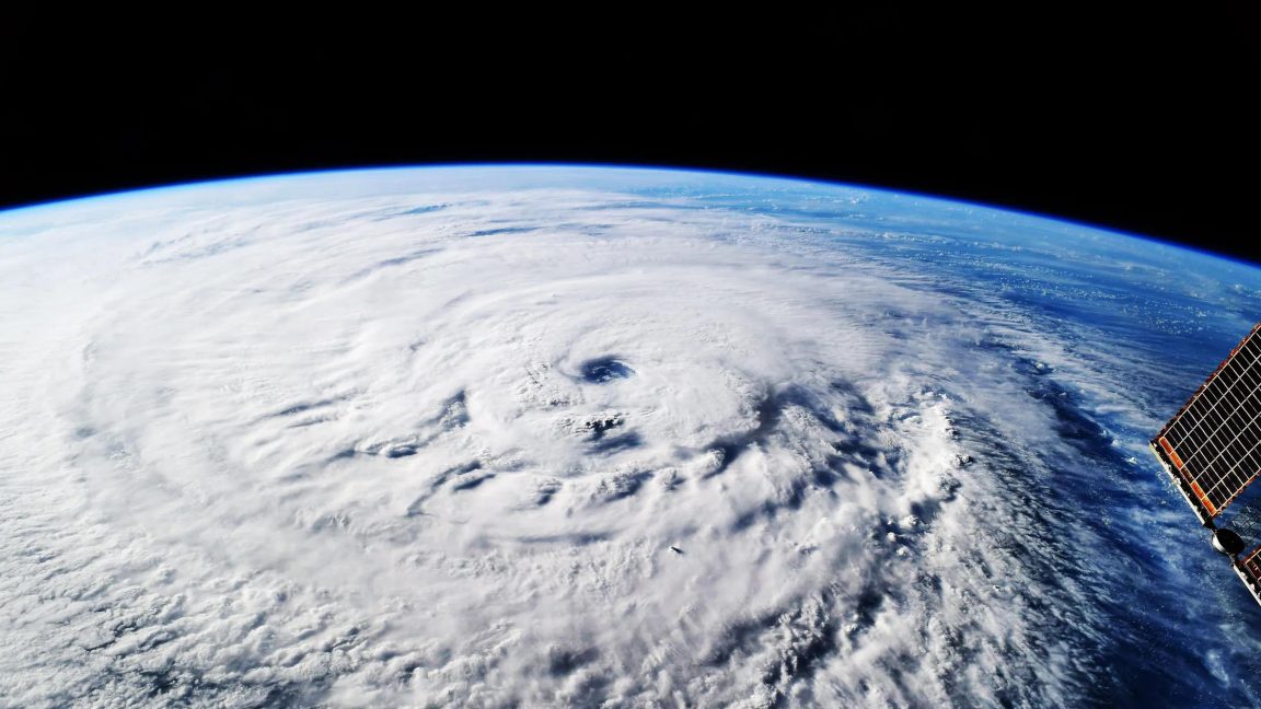
Common sense suggests that low-resolution data (weather information with coarse precision, details unclear) cannot capture the subtle changes in storm intensity because the details are not visible. WeatherNext, however, goes against this: it was trained using only low-resolution global weather data, yet it accurately predicts intensity changes, boldly asserting that a storm will intensify to Category 5 even when it is only at Category 1.
Alet told the research community that the model only used relatively coarse resolution data, and the response was one of shock: the coarse input contains more information about future events than anyone expected.
This paper provides evidence that low-resolution data contains untapped predictive power.
To verify, researchers performed backtesting with historical data, and the results far exceeded expectations. As for why coarse data works, no one can fully explain it yet. Alet calls it a black box—a black box that precisely presents a new research topic for physicists.

After Going Open Source, the Real Test Begins
DeepMind announced it will open source WeatherNext during the hurricane season—AI hurricane forecasting is moving from paper to practice.
Going open source means any researcher can access the model to improve it and to challenge it. The backtesting in the Nature paper was just the first test; the real exam is every real storm in this hurricane season: can it still get both the path and the intensity right when it encounters a rapidly intensifying storm?
Alet's expectation is straightforward: opening the model can spur new scientific discoveries. Meteorologists, physicists, and computer scientists can all come in to figure out what signals are hidden in the coarse data—a question that even DeepMind itself has not fully answered.
WeatherNext going open source indicates that AI weather forecasting has reached the stage of engineering validation, provided it can withstand an entire hurricane season. Whether the additional day of warning can translate into fewer casualties depends not on the model, but on whether the evacuation response of each region can keep up with that extra day.
Four Things You Can Do Now
Ordinary readers cannot run WeatherNext directly now—it will not be open sourced until the hurricane season. But there are three things you can do now, and a fourth for researchers.
Keep an eye on open source developments: DeepMind says it will open source the model during the hurricane season, so watch the DeepMind website and GitHub (a website where programmers publish and download code) to see when the model and its documentation will be available.
Compare after release: Choose a hurricane and compare WeatherNext's path and intensity forecasts with the official forecasts to see where the extra day comes from.
Understand a key distinction: In the future, when reading hurricane news, separate "path forecast" and "intensity forecast"—the breakthrough this time is in intensity, as the two are different in difficulty.
For those who want to dig deeper, read the paper: The WeatherNext paper in Nature, focus on how it uses low-resolution data for training.
Final note: AI forecasts do not replace official warnings. When facing a hurricane, the warnings and evacuation instructions from local meteorological departments remain the only basis for action.
This article is based on the original Ars Technica article (2026-08-08). The numbers released by the manufacturer (benchmark scores, reductions, etc.) are official figures and have not been independently verified by a third party unless otherwise stated.